The Geological Survey of NSW has released 4 upgraded data packages that showcase NSW’s mineral potential.
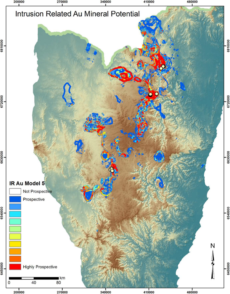
Synthesising expert knowledge and geoscientific data using cutting-edge software analytical techniques, the mineral potential maps can be used to support strategic land use planning and decision-making.
They also provide a useful resource for improved mineral system studies and support potential new mineral exploration model generation.
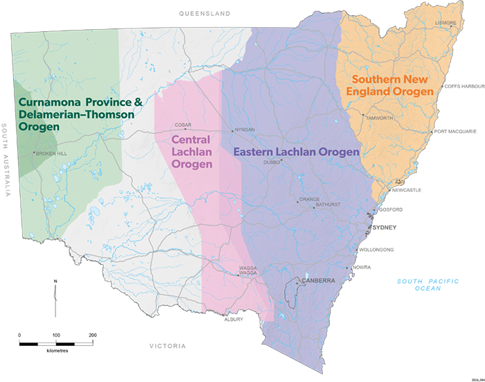
The data packages represent the results of mineral potential studies in each basement province of NSW:
- Southern New England Orogen
- Curnamona Province and Delamerian-Thomson Orogen
- Eastern Lachlan Orogen
- Central Lachlan Orogen.

The latest enhancements allow industry stakeholders to better interpret and use the data, with the files made more accessible and user friendly and additional file formats added.
The data packages include GIS files for training points, study areas, predictive maps, and mineral potential maps for each model, as well as a summary report.
Download the data from the DiGS portal: Southern New England Orogen, Curnamona Province and Delamerian-Thomson Orogen, Eastern Lachlan Orogen, Central Lachlan Orogen.


