Geotrails
About geotrails
Geotrails provide a unique tourism experience by guiding visitors on a journey that is focused on the local geology. Designed to promote an understanding of earth science, they enable people to explore the natural environment and learn about its diversity.
Geotrails may feature walking tracks and driving routes, lookouts, points of interest, visitor centres and supporting information to encourage learning and an appreciation of our environment.
We have launched 4 geotrails to date and have more in development. All projects involve collaboration with local councils, site custodians, stakeholders and the community. Visit a geotrail with the aid of a self-guided tour on your mobile device through the free app NSW GeoTours or a free printed pocket guide. Printed brochures are available for direct download, or you can pick them up from local visitor centres.
Port Macquarie Coastal Geotrail
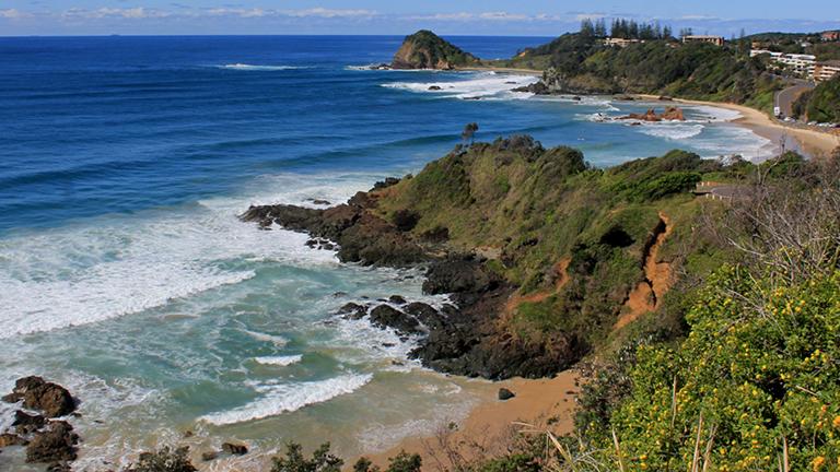
The Port Macquarie Coastal Geotrail is a 4 km walk along the coast from Shelly Beach to Rocky Beach. Learn more>
Newcastle Coastal Geotrail
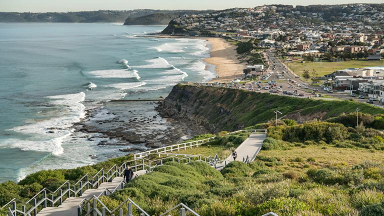
The Newcastle Coastal Geotrail explores the prominent rock platforms and cliffs of the coastline from Nobbys Beach to Merewether headland. Learn more>
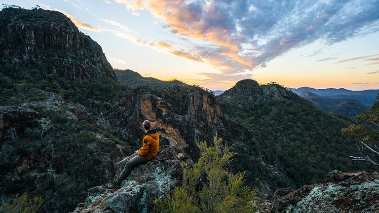
Warrumbungle National Park Geotrail
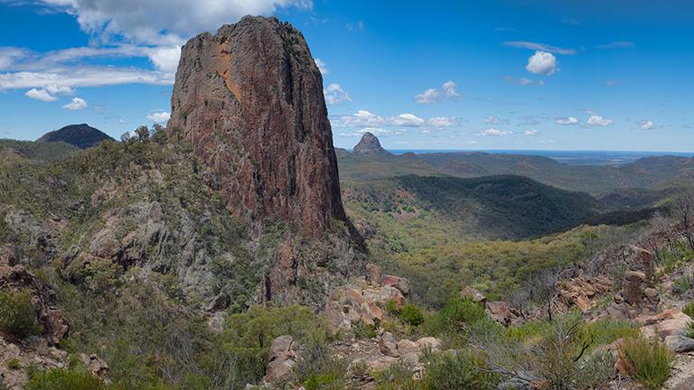
The Warrumbungle National Park Geotrail follows existing walking tracks and roads to explore the eroded remnants of Warrumbungle Volcano. Learn more>
Mutawintji National Park Geotrail
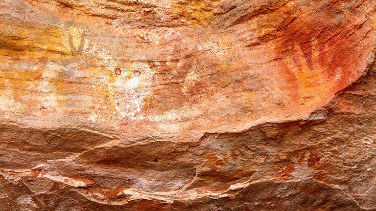
The Mutawintji National Park Geotrail in far west NSW follows existing walking tracks to explore ancient rock formations, rock art and fossils revealing evidence of life up to 500 million years ago. Learn more>
Geotrails in development
Production of a road-based geotrail in the central Darling River region is currently underway.
NSW GeoTours app
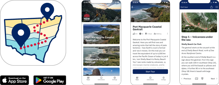
Explore our geotrails with the free NSW GeoTours app on your smartphone or tablet (Apple and Android). Key points of interest on each of the tours have been geotagged to pop up when you reach a site. Download tours before you go in case you encounter limited reception on the geotrail. The app uses your device’s GPS to locate you even with limited or no network access.
Download NSW GeoTours: Apple | Android
NSW GeoTours is optimised for mobile devices, but can also be accessed on a web browser.