Newcastle Coastal Geotrail
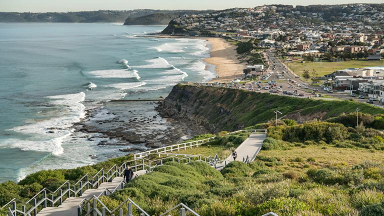
The Newcastle Coastal Geotrail explores the prominent rock platforms and cliffs of the coastline from Nobbys Beach to Merewether headland, revealing how the amazing geology has influenced natural features and cultural heritage along the coastline.

Go back in time to learn about major volcanic eruptions, river floodplains and swamps that were covered by ancient forests more than 250 million years ago. Hear the story about the opening of the Tasman Sea during the age of the dinosaurs and the changing sea level over the past 100,000 years.
The Newcastle Coastal Geotrail is a collaboration between the Geological Survey of NSW, the University of Newcastle and the City of Newcastle.
To find out more about this exciting experience, watch the Newcastle Coastal Geotrail video:

NSW GeoTours app

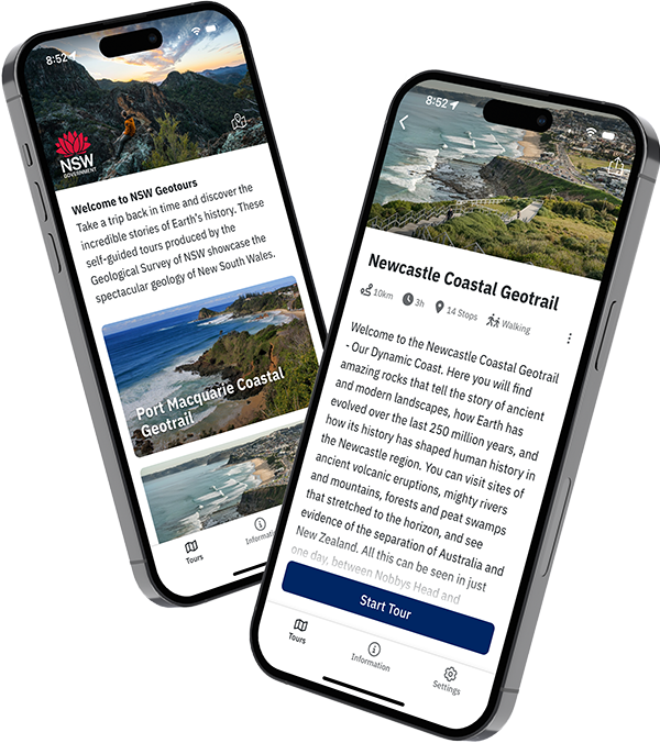
Explore the Newcastle Coastal Geotrail with the free NSW GeoTours app on your smartphone or tablet (Apple and Android). Remember to download the tour before you go.
Key points of interest have been geotagged to pop up when you reach a site. The app uses your device’s GPS to locate you even with limited or no network access.
NSW GeoTours is optimised for mobile devices, but can also be accessed on a web browser.
Geotrail brochure
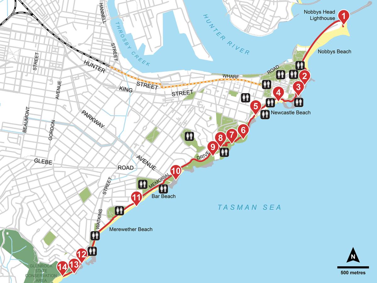
In addition to the app, we also have a folded brochure to guide you on the geotrail. The brochure contains a map of the geotrail and detailed information about each stop, including photos and figures.
Pick up a free copy from the Newcastle Visitor Information Centre at 430 Hunter Street or the Department of Primary Industries and Regional Development at 516 High Street, Maitland, or download the brochure (PDF, 3.15 MB) from our website.
Explore online in 3D

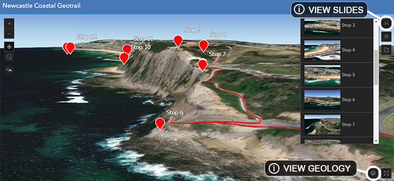
Take an interactive tour of the Newcastle Coastal Geotrail online in 3D.
Take an interactive tour in 3D
Features include:
- Predefined views for each stop using the ‘slides’ feature
- Geology data can be added from the ‘layer list’
- Click on the stops to reveal information about the geology and cultural heritage along the coastal geotrail.
Accessibility
The Newcastle Coastal Geotrail mostly follows Bathers Way and is about 10 kilometres walking one way. You can also drive to key stops, which are mostly accessible from nearby carparks. Public buses service Nobbys Beach, Merewether Beach and coastal areas in between.